Pasquinel’s landing. Open for visits
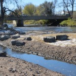
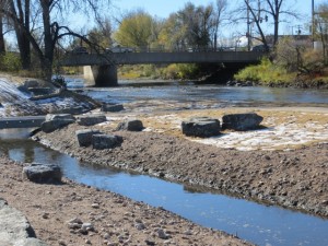
Pasquinels Landing on the South Platt river. Ronnie Crawford took these pictures and will send more.
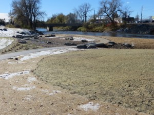
Looking south towards Evans bridge. Note low-water channel for kids to splash in
and the two bridges to the “island”.
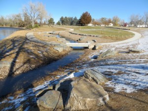
Looking north from Evans. Low-water channel is entering from the bottom and exiting at the top.
This is a planned flood plane, and during high runoff, water could reach up to the row of boulders where all of the gravel is.
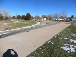
This is the bike path relocated to the rear, east side, of the park. The Park is sodded, seeded, and bushes and trees are in the ground.
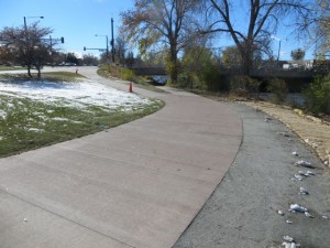
Looking south. This is the new bike path, 12 feet wide. Note the soft trail to the right
for pedestrians. Top center, is where the new trail, meets the old trail and goes under the Evans bridge.
I’m trying to be objective here, but I can’t. This is Killer..!
What a great addition to the beautiful Overland Park neighborhood.
![]()


Comments
Pasquinel’s landing. Open for visits — No Comments
HTML tags allowed in your comment: <a href="" title=""> <abbr title=""> <acronym title=""> <b> <blockquote cite=""> <cite> <code> <del datetime=""> <em> <i> <q cite=""> <s> <strike> <strong>